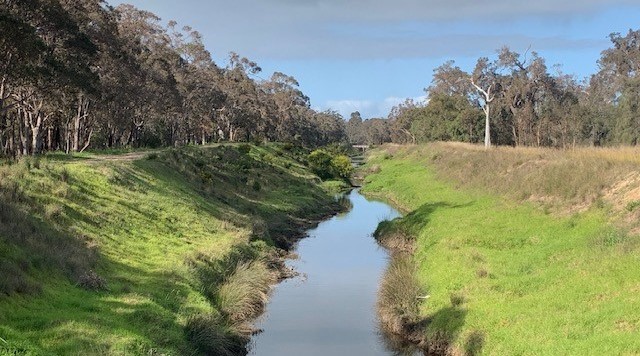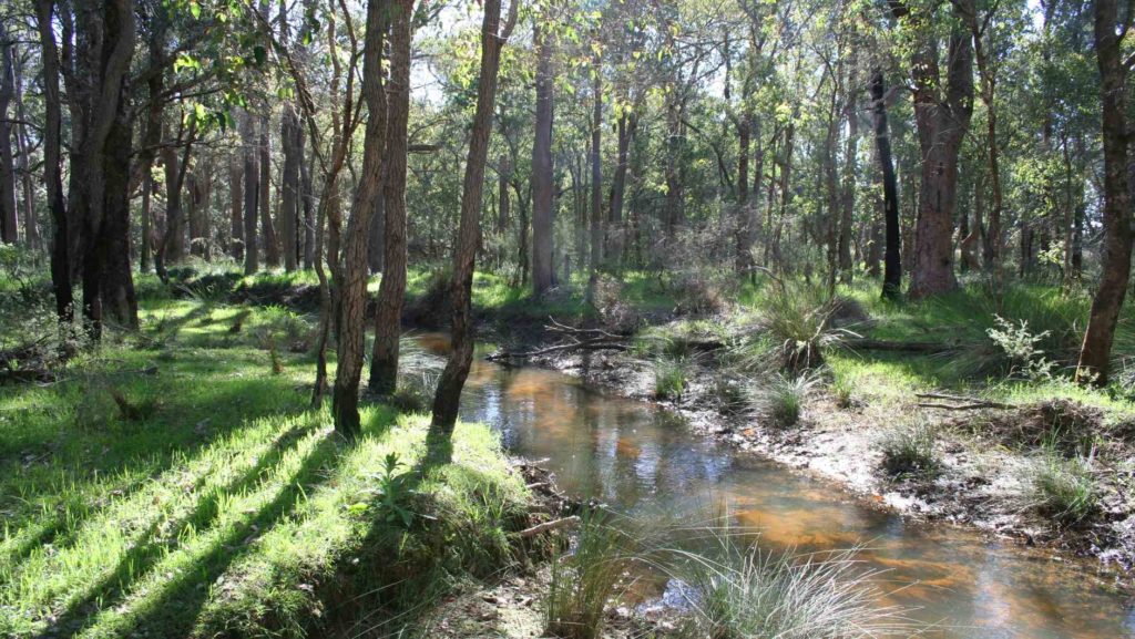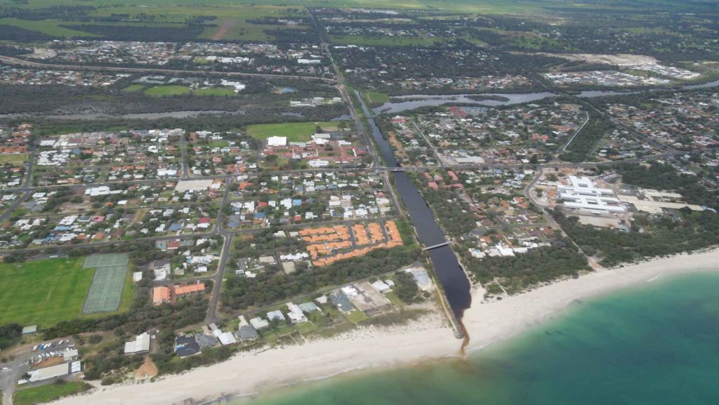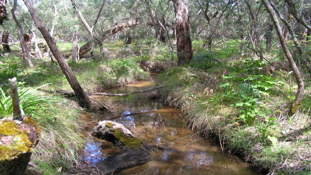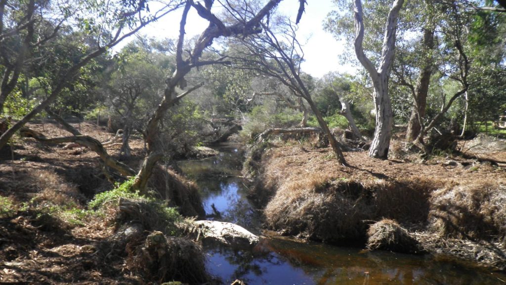

For Capel farmer David Hutton, looking after the Capel River is more than just a passing interest. Gazing upstream, he has a deep knowledge and appreciation for the river that flows year-round and brings life through bone-dry paddocks and brown summer farmland.
“The Yarragadee aquifer comes to the surface upstream and provides the water for all these plants and animals to survive throughout the summer,” said David.
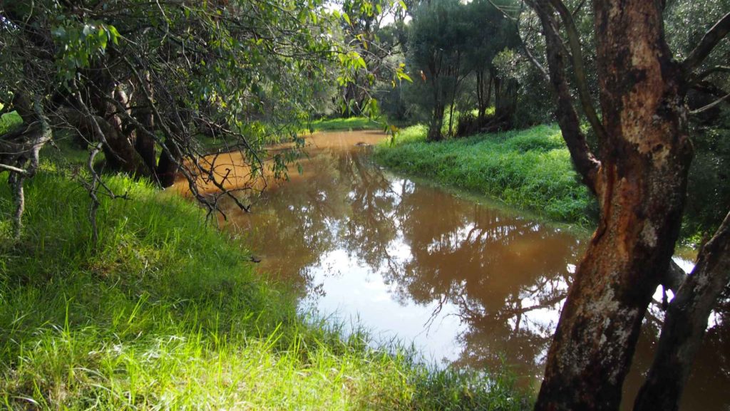
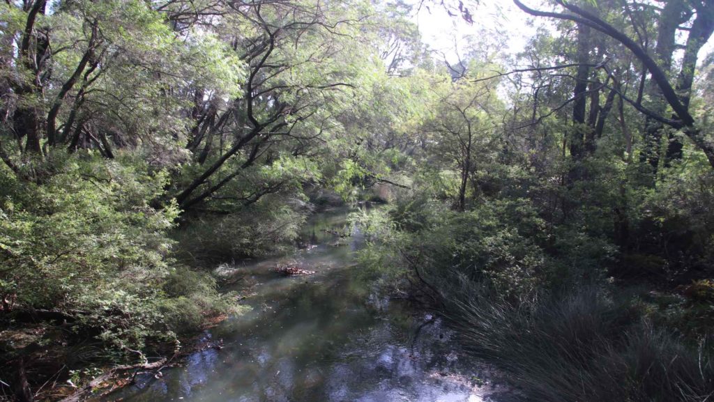
His knowledge of the interconnected ecosystem within the river has been helping scientists understand more about the ecology that lies within. “For example, you see this weed here,” says David as he reaches into the cool, clear-flowing waters. “You will only find glass shrimp in areas where this weed grows.”
Tim Storer, Principal Scientific Officer from the Department of Water and Environmental Regulation (DWER), explains that the knowledge of local farmers and families like the Hutton’s is valuable to increasing the understanding of our rivers and estuaries. “Having input from families who have been here for generations helps us to understand what is going on in the River,” said Tim.
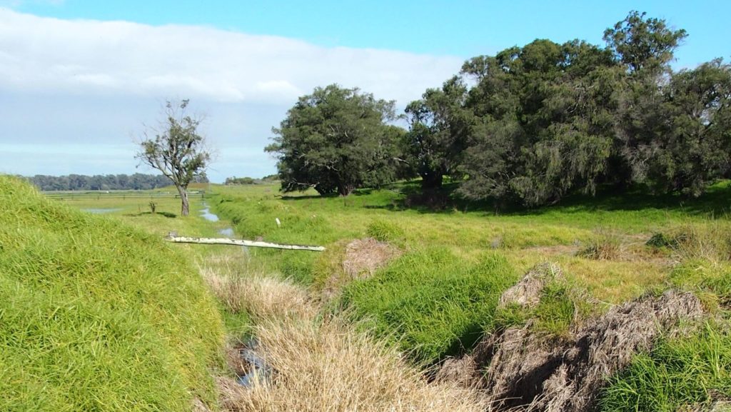
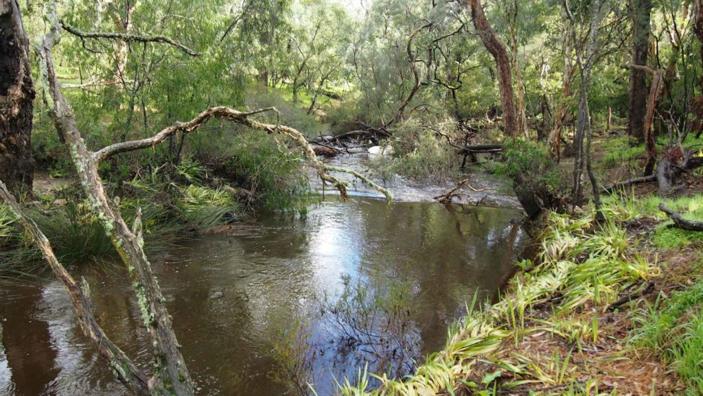
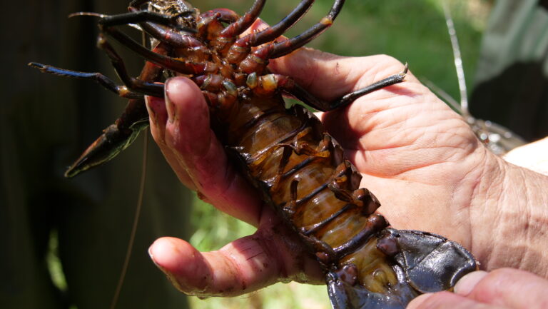
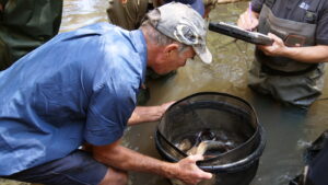
Working on the Capel River as part of DWER’s Healthy Rivers program, Tim heads downstream to check the next sample net that has been out for 24 hours. Sure enough, it is full of glass shrimp, marron and gilgies.
“Glass shrimp are an important species to have in the river, as they are at the base of the food chain. They are an important food source for native fish, crayfish and turtles,” said Tim as he emptied the sample net, recording its contents in his field log book.
David goes on to explain the knowledge that he carries about the river and its inhabitants has been handed down to him over generations.
“My great-grandfather started farming here in 1888. We all help to look after the river reserve here, controlling weeds and feral pests like foxes and red-fin perch. The health of the river is very important to me, I want to look after it as best as I can,” said David.
This knowledge of the river and surrounding environment is now being passed on to the next generation of Huttons. Dave’s nephew Edward is employed as a Natural Resource Management Officer with DWER and explains that his interest goes far beyond just taking water samples.
“Being involved with this project has been great. Growing up here and having a long family connection with the river and now doing the monitoring is very special. I have been helping the project coordinators, using my local knowledge to find deeper pools, aquatic habitat areas, and where to find different species,” said Edward.
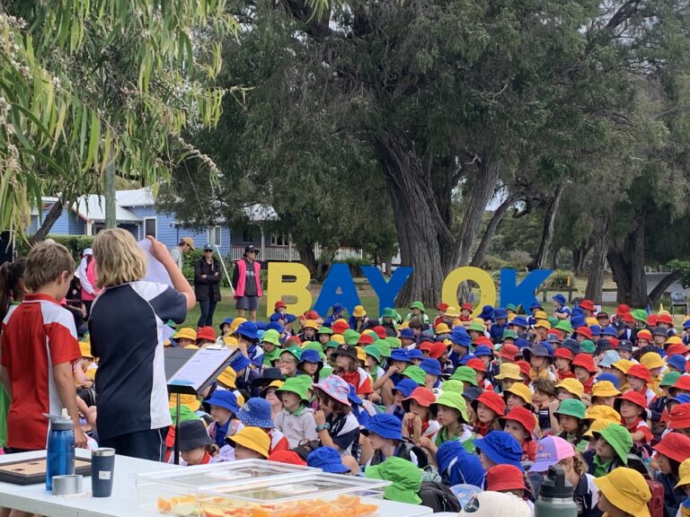
Tim and DWER’s Healthy Rivers team have undertaken almost 1500 site assessments over 15 years to better understand and track the health of South West rivers. “This information is used at the highest level, like in climate change decision making, right through to localised land-use issues and on-farm river restoration projects like those being undertaken by GeoCatch in the Geographe Catchment,” said Tim.
“Capel is a pretty special river because it is groundwater-fed. Having this constant supply from the Yarragadee aquifer means that you have unique conditions that you don’t see very often.
“For example, the pouched lamprey is found in the Capel River. We’re not completely sure why lamprey choose some rivers and not others, having good water quality is a major part but we believe that sensing a certain groundwater signature may be the key thing that lets the adults find the river they were born in when they return from the ocean,” said Tim.
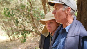
David Hutton
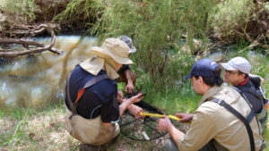
DWER Staff checking fish traps
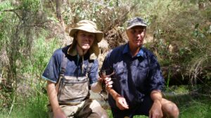
Edward and David Hutton
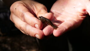
Gilgie
Edward and David Hutton