The Geographe Soil Testing Program aims to support farmers to make informed fertiliser decisions to ensure nutrients stay on the farm and out of waterways and estuaries.
Soil testing has given hundreds of Geographe farmers the confidence to target their fertiliser applications and work towards improving farm productivity, cut unnecessary fertiliser inputs as well as reducing excess entering waterways.
Soil testing reveals the nutrient composition of the soil, how well it retains and impacts nutrient availability, and identifies if deficiencies are present. Testing for phosphorus (P), nitrogen (N), potassium (K), pH, sulphur (S) and phosphorus buffering index (PBI) allows farmers to adapt their fertiliser application, increase efficiency and grow better pastures.
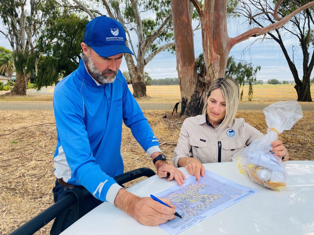
The colour-coded nutrient maps assist farmers to see exactly which paddocks will benefit from changed fertiliser applications. Often the pH of the soil is an inhibiting factor to nutrient uptake, therefore applying lime to increase pH can benefit pasture growth more than fertiliser.
The Geographe Soil Testing Program for 2023/24 is closed. The next round will open in June 2024. To go on our mailing list for further information please email us.
“What we are doing now is really targeting specific paddocks, so the paddock actually gets
what the paddock needs. It’s very expensive to put the wrong fertiliser in the wrong place.”
Elaine, Yoongarillup
“I was actually quite surprised to see how much residual fertiliser was in the property from previous
practices where we just threw out super every year, like we’ve been doing forever…
Every decision now is based on science and results.”
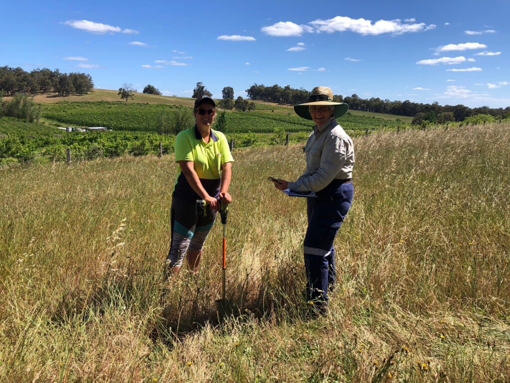
Farmers are able to collect soil samples themselves (as DIY) or elect for a contractor to do it.
Training and detailed farm maps are provided to ensure sampling is easy for Do-It-Yourself farmers.
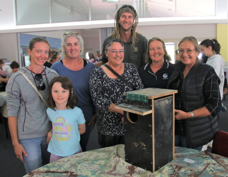
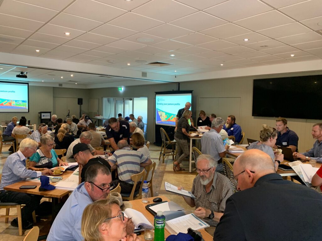
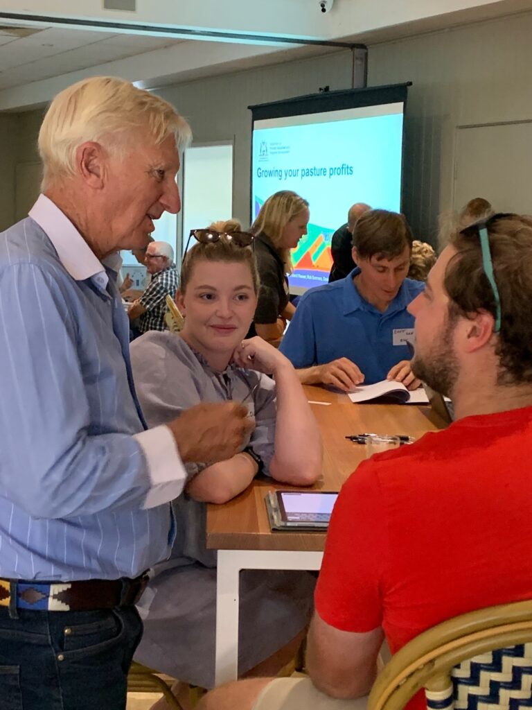
Participants of the program, are invited to workshops helping to interpret the soil test results and put an agronomic plan into action.
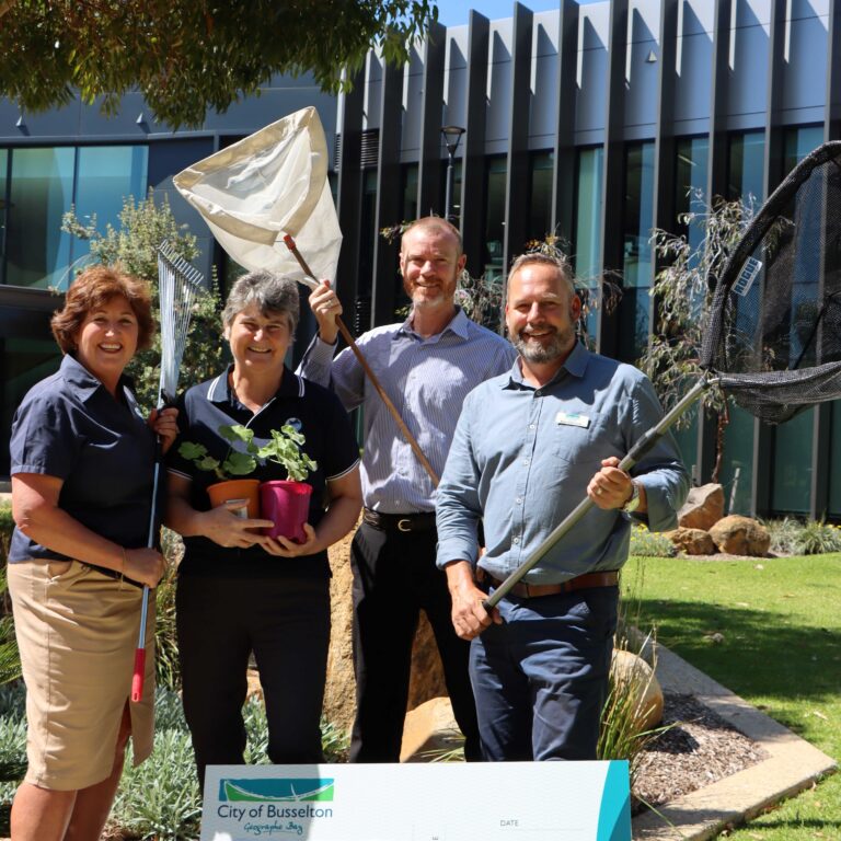
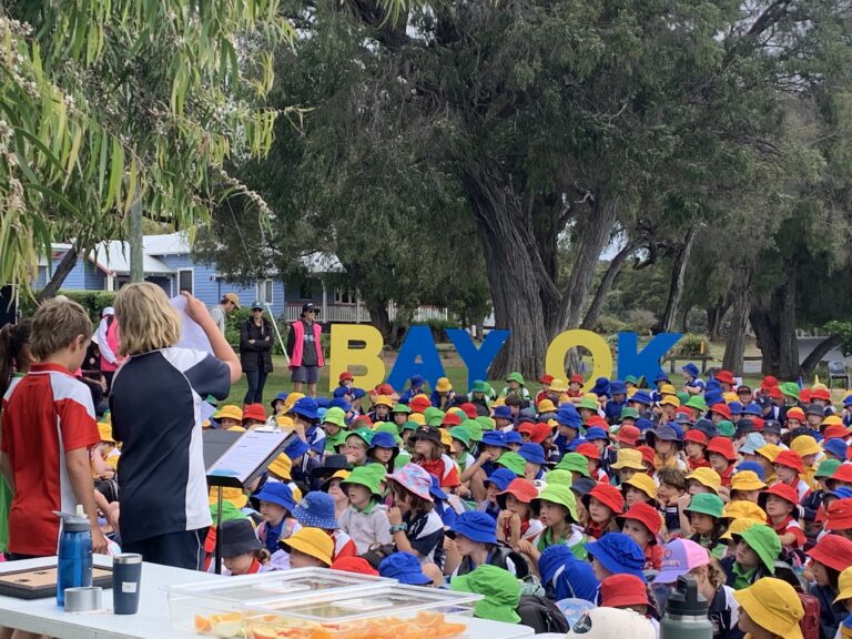
Networking opportunities for farmers at GeoCatch's workshops and events
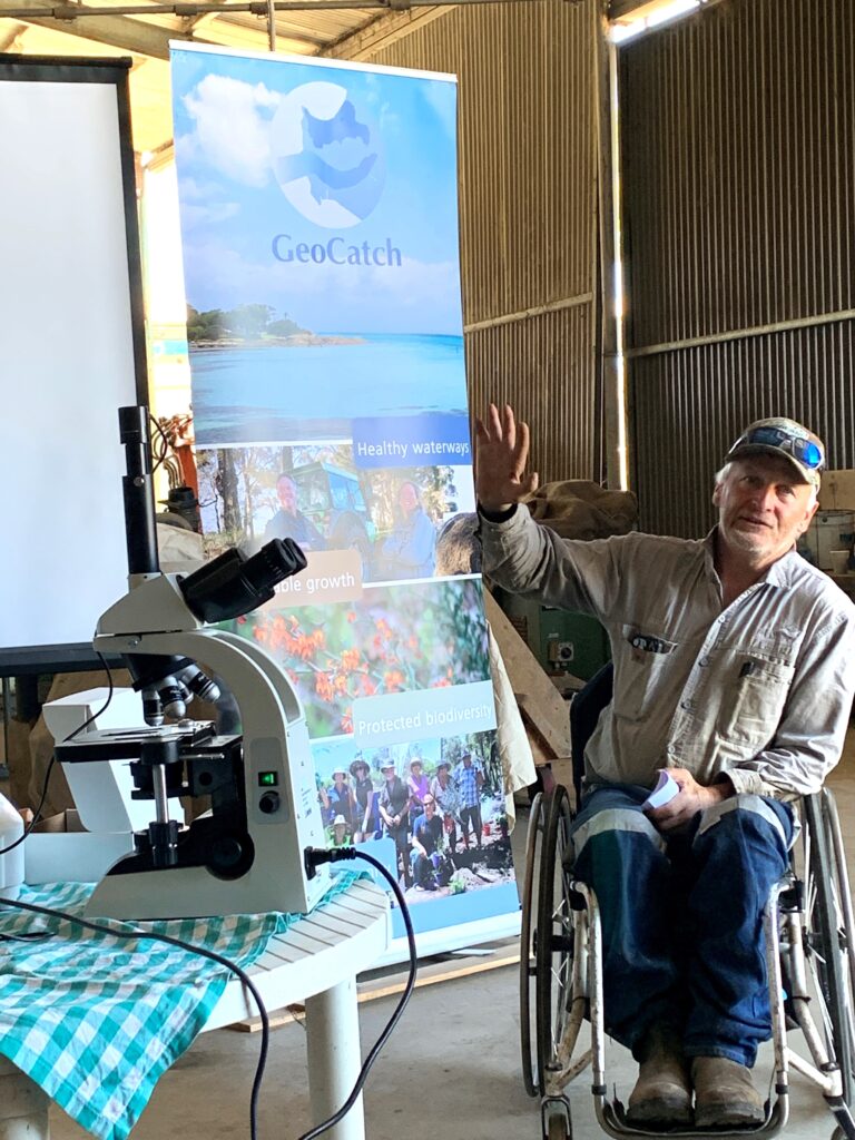
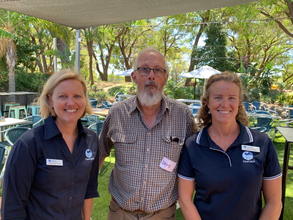
GeoCatch's Sustainable Agriculture team provide support throughout the program.
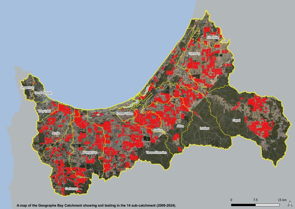
All paddocks soil tested in Geographe Catchment since 2009.
This is a part of the State Government’s Healthy Estuaries WA and Revitalising Geographe Waterways programs, and Soil Wise. Soil Wise is funded by the National Landcare Program Smart Farms Small Grants Initiative – an Australian Government program.
Receive the latest updates
Subscribe To Our Newsletter
Keep in touch with us
Join our Volunteer Register!
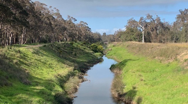
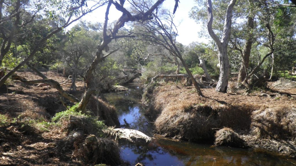
Buayanyup
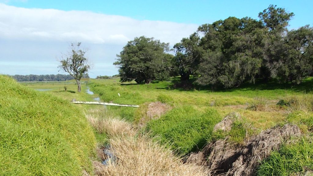
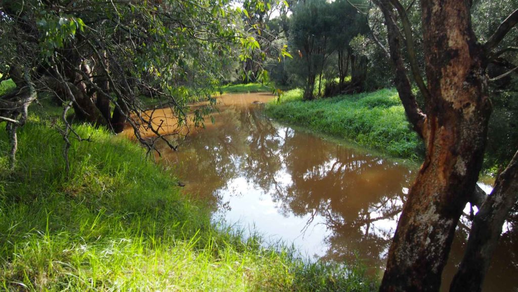
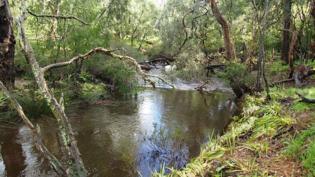
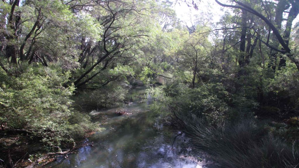
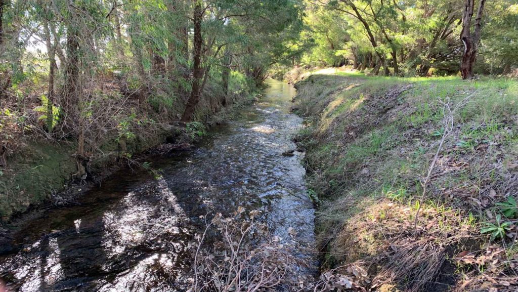
The headwaters of the Buayanyup River occur in state forest where four tributaries flow through native vegetation before flowing through agricultural land. The lower section has been straightened into drainage channels, before flowing into Geographe Bay at Abbey.
The Buayanyup River catchment has a diversity of land uses, including beef and dairy farming, vineyards and horticulture. Native vegetation and timber plantations occur in the south eastern corner of the catchment, and the growing townsite of Vasse occurs in the lower catchment. Nutrients, particularly nitrogen, enter the river from dairy and beef grazing, dairy sheds and horticulture.
Native species, including the Western Minnow, Western Pygmy Perch , Nightfish, Blue-spot Goby, Gilgie, Smooth Marron, Freshwater Shrimp, Koonac and Long neck turtle, have all been found in the river.
Five Mile
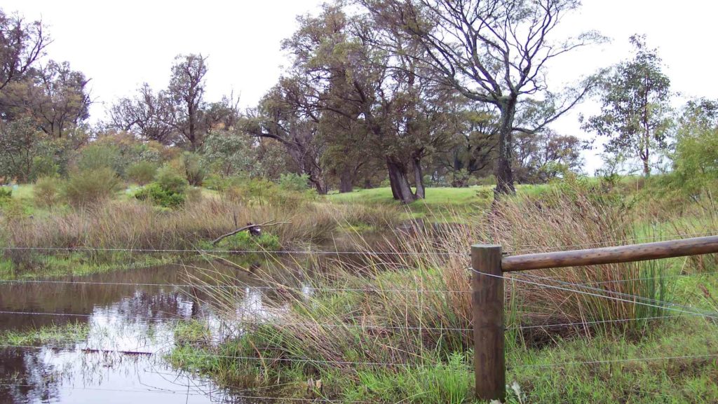
Five Mile Brook is a small waterway in the north of the catchment. It flows seasonally to Geographe Bay near Minninup Beach. Five Mile Brook is surrounded by agriculture, particular beef farming, with some urban areas at the south of Dalyellup Estate.
Five Mile Brook has poor water quality. This is due to sandy soil, which does not retain nutrients well, and extensive grazing agriculture in the catchment.
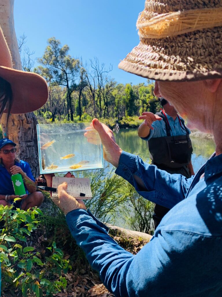
Water sampling by local school groups has found evidence of macroinvertebrates, tadpoles and turtles.
Gynudup
The Gynudup Brook catchment consists of two main tributaries; Tren Creek and Gynudup Brook. The headwaters of Gynudup Brook are in State Forest, which then flow across agricultural land before connecting with the Capel River west of Bussell highway.
The hydrology of the catchment has been extensively modified, containing many artificial drains to alleviate water logging in winter months. Most of the catchment is cleared for agriculture, and the waterways suffer from poor water quality.
Despite being significantly altered, the waterways in the Gynudup catchment provide refuge for several native species including freshwater shrimp, Western Minnow, Blue Spot Goby, Nightfish, Gilgie and the Long-necked Turtle.
Capel
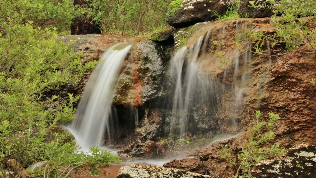
The Capel River is the largest and only perennial river in the Geographe Bay Catchment, receiving groundwater discharge from the Leederville aquifer year-round. Several foreshore reserves of conservation value are situated on the Capel River, including Ironstone Gully Falls.
Land use of the upper Capel River catchment is predominately native vegetation and beef farming. The lower catchment is dominated by beef and dairy farming with pockets of native vegetation and horticulture. The townsites of Capel and Peppermint Grove Beach also occur in the catchment.
The Capel River has relatively good water quality. Carters Freshwater, Smooth Marron, Gilgie, Freshwater Cobbler, Nightfish, Western Pygmy Perch, Western Minnow and Pouched Lamprey can be found in the catchment.
Ludlow
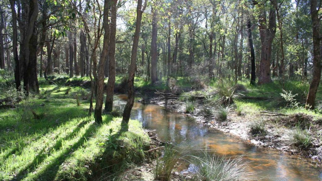
The Ludlow River is the only major waterway to discharge to the Wonnerup Estuary. Its upper catchment lies in the Whicher National Park, after which it flows across the coastal plain through grazing and dairy farmland, horticulture and turf farms.
These land uses contribute nutrients to the river, which suffers from poor water quality. There has been, however, a decreasing trend in nutrient concentrations in the river since 2011.
The Ludlow River retains native aquatic fauna including the Gilgie, Freshwater Shrimp, Nightfish, Western Minnow, Western Pygmy Perch and the Blue Spot Goby.
Abba
The Abba River begins in the Millbrook State Forest, flowing seasonally across the Swan Coastal Plain, through the Ludlow Tuart Forest and eventually into the Vasse Estuary. Landuse in the Abba sub-catchment is predominantly beef and dairy farming, with smaller amounts of sheep farming, vineyards and horticulture.
Ecological surveys of the river have found a diversity of native fish and freshwater crayfish including the Western Minnow, Nightfish, Blue-spot Goby, Western Pygmy Perch, Gilgie and Freshwater Shrimp.
The Abba River is categorised as an ‘intervention’ sub-catchment for water quality, where it meets phosphorus targets, but not nitrogen. Fertiliser for pasture is the largest source of nutrients to the river. We work with landholders and our partners to reduce these nutrients by fencing waterways, fertiliser management and dairy effluent upgrades.
Sabina
The Lower Sabina River flows into the Vasse Estuary. It is separated from its upper catchment, which is diverted into the Vasse Diversion Drain.
The Lower Sabina catchment is small, mostly cleared, with agricultural landuses dominated by dairy and beef farming. The river contributes a significant amount of nutrients to the Vasse-Wonnerup Wetlands.
The river supports Gilgie, Southwest Glass Shrimp, Nightfish, Western Minnow, Western Pygmy Perch and the Blue Spot Goby.
Lower Vasse
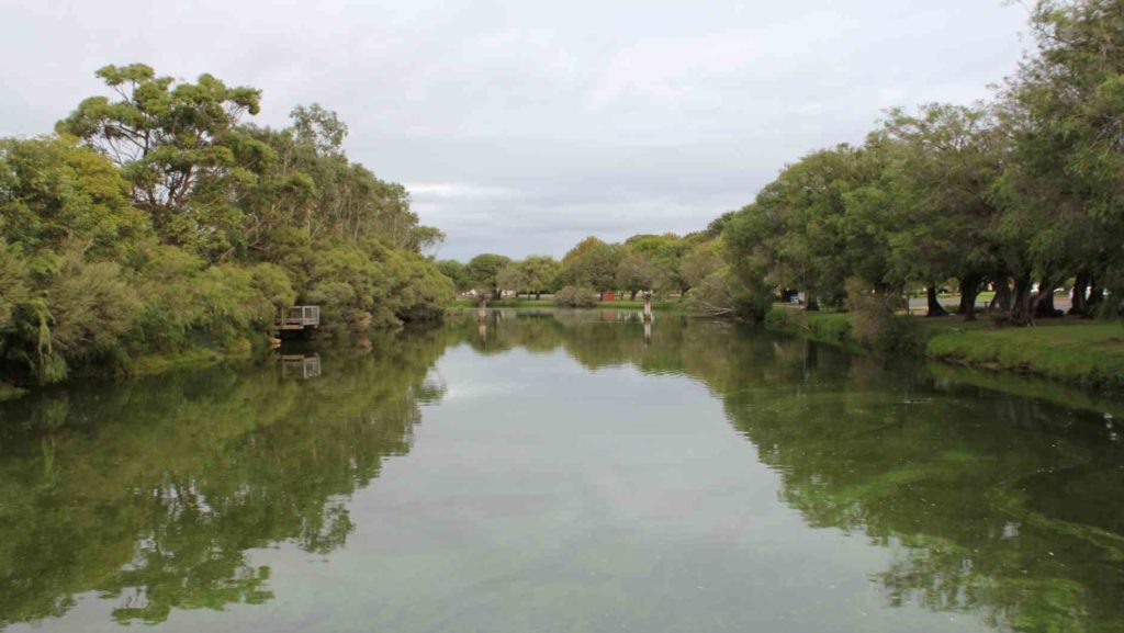
The Lower Vasse River flows through the centre of Busselton, extending from the Vasse Diversion Drain at its headwaters, to the Vasse Delta Wetlands at the downstream boundary. The river receives winter flow from the Vasse Diversion Drain through a 900 mm culvert.
The lower catchment is dominated by urban, residential development, while the upper catchment is primarily beef grazing.
The Vasse River suffers from poor water quality and in summer months experiences regular algal blooms. Despite these water quality problems, the Lower Vasse River retains significant ecological values, including a high diversity of fish and native crayfish.
Vasse Diversion
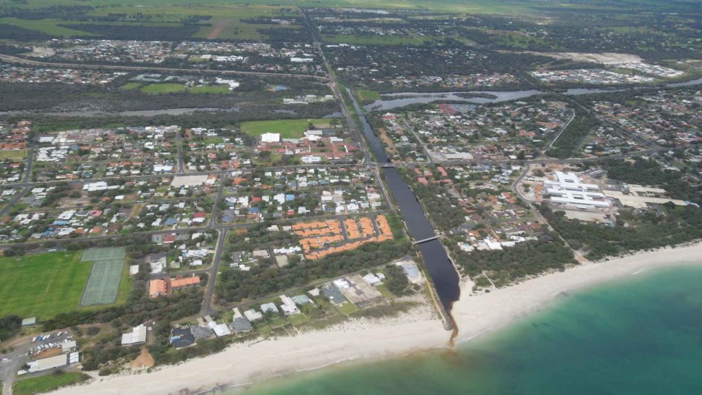
The Vasse Diversion Drain receives water from approximately 60% of the Sabina River catchment and 90% of the Vasse River catchment, diverting flow away from the Vasse-Wonnerup Wetlands and directly into Geographe Bay. These rivers were diverted in the 1920s to protect the Busselton townsite from flooding. The headwaters of these rivers originate in the Whicher Range, then flow across the coastal plain to the diversion drain and eventually to Geographe Bay in West Busselton.
The Vasse Diversion Drain catchment suffers from poor water quality, with phosphorus and nitrogen inputs high. Most nutrients come from the dominant land uses of beef and dairy farming, and smaller amounts from the Busselton wastewater treatment plant.
The upper Vasse and Sabina rivers retain important natural values, including several species of freshwater fish and crayfish. The lower section of the drain near Geographe Bay has important social and recreational value to the community.
Carbunup
The headwaters of the Carbunup River begin on the Whicher Scarp in the Treeton State forest. The river flows in a northerly direction through agricultural land before discharging into Geographe Bay near Siesta Park.
The upper reaches of the river are densely vegetated, however the lower reaches have been cleared and straightened into Lennox River Drain. A weir at the junction of the river and drain prevents saltwater from impacting arable farmland. Due to the dense riparian vegetation and high phosphorus retention index (PRI) of the soil, the Carbunup river has relatively good water quality.
A diverse range of aquatic fauna rely on permanent pools of water that provide refuge over warmer months. Carter’s Freshwater Mussel and Western Pygmy Perch have both been recorded in the river.
Annie
The Annie Brook catchment has three streams – Station Gully, Annie Brook and Mary Brook. These streams begin on the Whicher Scarp and Leeuwin-Naturaliste Ridge, before flowing to the coastal plain where they are artificially straightened into drains that converge at Station Gully before entering Geographe Bay.
The catchment features remnant native vegetation, including some poorly represented vegetation complexes. On the coastal plain, the catchment is mostly cleared for beef farming and smaller amounts of horticulture and viticulture. These land uses contribute nutrients to waterways, particularly nitrogen.
The endangered Dunsborough burrowing crayfish is known to occur in the waterways of the catchment, and surveys have also shown a variety of including the Gilgie, Marron, Nightfish, Western Minnow the Western Pygmy Perch.
Toby Inlet
Toby Inlet is located east of Dunsborough and runs parallel to the coast. It is surrounded by residential areas and is of social and recreational importance to the local community and visitors.
Land use in the wider catchment consists mostly of large rural properties and agriculture. A series of headwaters, originating on the Leeuwin-Naturaliste Ridge, flow across the coastal plain where they become poorly defined. The mouth of the Inlet closes naturally over summer but is opened by the City of Busselton to maintain flushing, as nitrogen levels are currently high.
The Inlet provides habitat for the Swan River Goby, Gilgie and the Dunsborough burrowing crayfish, as well as waterbirds and frogs.
Dunsborough
The Dunsborough streams include Meelup, Dolugup, Dandatup and Dugulup Brooks. Although relatively small and seasonal, the streams are significant to the local community.
They currently maintain good water quality due to their low nitrogen and phosphorus levels. However, the streams are at risk from nutrient runoff primarily from urban and rural-residential sources, including septics, due to their proximity to the Dunsborough townsite.
The streams provide a diversity of habitat and food sources for native fauna and are known to support the Gilgie (Dandatup and Dugulup Brooks), Marron (Meelup Brook) and the Blue Spot Goby (Meelup Brook).
Jingarmup
Jingarmup Brook is a small waterway that flows seasonally across the eastern slopes of the Leeuwin Naturaliste Ridge, through the Eagle Bay townsite to Geographe Bay.
The Jingarmup Brook catchment is categorised as an ‘intervention’ catchment, meeting phosphorus targets but not nitrogen. Native vegetation and beef farming are the dominant land uses in this catchment, which is the southern most region of the Geographe Bay Catchment.
Water quality is impacted by septics, which contribute a significant amount of the phosphorus load to the waterway, and farming practices. Nitrogen levels are currently high in this waterway. The Meelup Regional Park Management Committee have made significant efforts to restore the riparian zone on lower section of the brook, which supports local biodiversity.